Design for Climate Extremes: Storms and Floods

Design Issues

Without question, the most common natural disasters are storms and floods. Around the world in 2024, there were 147 storm-related and 142 flood-related disasters—far exceeding mass movements (e.g. mudslides, 32 reported), wildfires (21), extreme temperatures (18), earthquakes (14), and other types of natural disasters.

Storm and flood disasters are devastating, deadly and costly. In the U.S. alone, according to NOAA, the country’s 27 individual weather and climate disasters in 2024 caused at least 568 fatalities and cost over $182 billion.

2025 has already been even worse. The catastrophic flooding in the Texas Hill Country—where rainfall exceeded 20 inches in some areas—has caused over 130 deaths (with dozens more still unaccounted for) and damage in the tens of billions. And that’s just one event, in one region. There have been numerous other storms and floods making headlines this year in New Mexico, North Carolina, Illinois, New Jersey, Louisiana, and elsewhere across the South and Midwest.

Yes, these are exceptional events. Some might call them “storms of the century” or “once in a lifetime” disasters to underscore their rarity. But the frequency and intensity of storms and floods are increasing as a result of climate change. Warming temperatures super-charge the atmosphere with greater moisture that leads to higher rainfall intensity. So these exceptional events are increasingly becoming unavoidable.

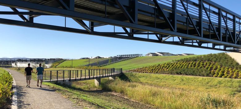
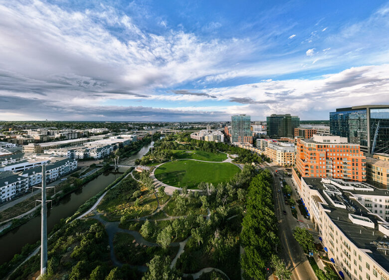
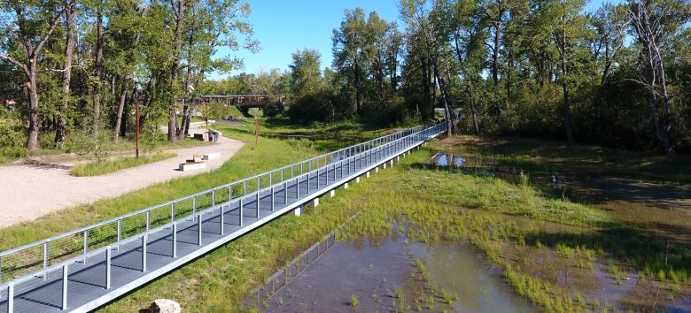
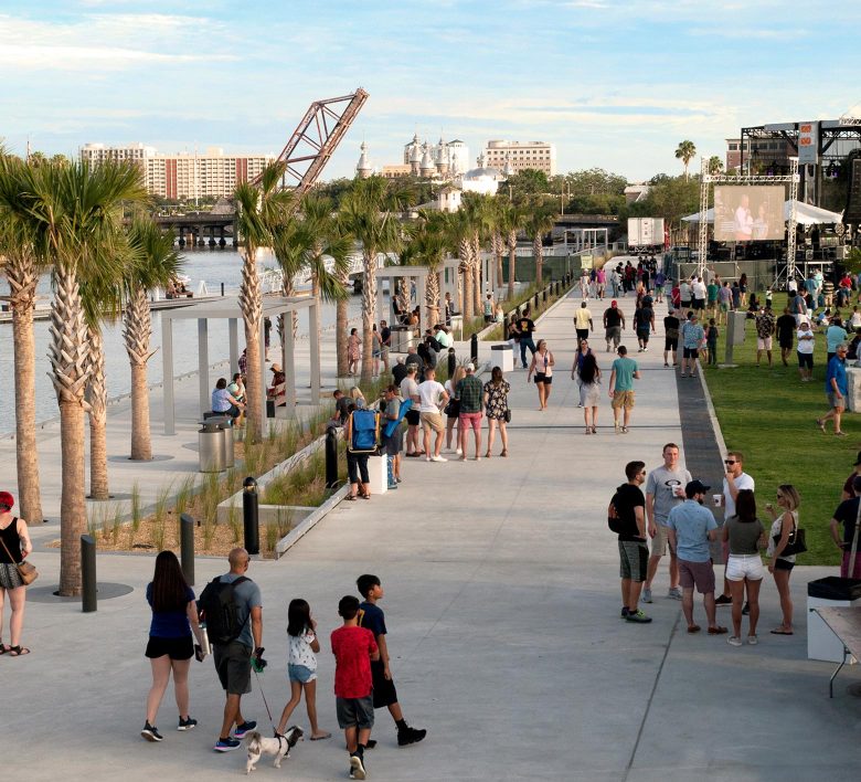
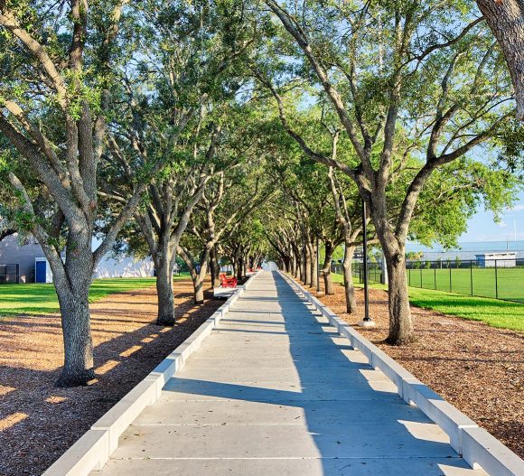
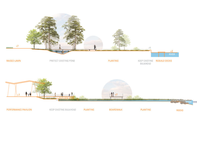
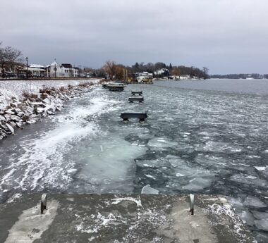
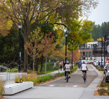
We can’t prevent climate disasters, nor can we eliminate the death and destruction they cause. But we can better prepare and make our cities and communities more resilient. We can help to mitigate the significant risk these natural disasters pose, and help to protect people and places. Here are some ways we can move the needle.

Reduce Impervious Surfaces

In urban areas and other highly developed regions, impenetrable surfaces like roads, parking lots, and buildings exacerbate flooding. Consider, too, that existing sewers and other stormwater management systems were designed decades if not centuries ago—not for today’s “super-charged” storms. Denver’s sewer system, for example, was designed in 1918, and New York City’s system dates back to the mid-1800s. Outdated civic infrastructure is quickly overwhelmed by heavy rainfall and storm surges, leaving water with nowhere to go.

Increasing a city’s green space will help. Whether the solution is a small-scale bioswale or a large city park, water can be slowed down, filtered, absorbed, and even retained for reuse through natural landscapes and green infrastructure that help to manage stormwater and improve ecosystems.

stapleton central park panoramic view

For example, when the 4,000-acre brownfield site of the former Stapleton Airport was redeveloped into the Stapleton community—now named Central Park, shown above—abundant open space was a major feature of the master plan to provide residents with both recreational space and resilient infrastructure. The relatively flat site was enhanced by a series of strategically placed, sculptural landforms that naturally convey stormwater instead of piping it underground, protecting homes from heavy rains and restoring the native prairie landscape that had once been paved over by runways.

In Denver’s Commons Park, stormwater runoff is collected from nearby streets and from the park itself and purified as it flows through wetland swales toward the Platte River. In the Spring, when snow is melting and average rainfall is highest, water collects in “The Seeps,” where the park’s existing grades were lowered by 18 feet in order to reestablish natural riverbank terraces and wetlands. This has not only reduced the risk of damage from the river’s peak flow, it also has restored the park’s riparian meadow and native forest and stabilized the river’s edge.

st. patricks island pedestrian bridge after flooding

Let Water In

Storms and floods can’t be prevented. We know heavy rains will continue to fall and rivers will continue to rise. So the question becomes, how do you let floods happen naturally—even intentionally—without causing damage or being a danger to people? The answer lies in understanding a site’s pre-development history.

On St. Patrick’s Island, near downtown Calgary, the Bow River’s flow had been manipulated for years by unnatural bank armoring, compaction and other intrusive developments, making the water unsafe to enter and impossible to enjoy. Water was pushed around by impervious surfaces rather than allowed to flow naturally. As part of a larger island revitalization effort, we helped to redesign the river inlet, slowing the water and restoring its natural flow. Coincidentally, that same year, the island experienced its most severe flood event when heavy rain and melting snowpack caused the Bow River to peak at eight times its regular flow. Thanks to the restored wetland inlet that allows the water to flow naturally rather than fight against it, the island was actually strengthened by the flood, gaining fortification from river rock deposits. And ten years later, native plants and wildlife are all thriving—and people are able to enjoy the island.

trench running along riverfront

Build Natural Buffers

In coastal cities, flooding is not only exacerbated by sea level rise, but also by hurricanes and other more extreme storms. NOAA predicts a 60% chance that the 2025 Atlantic hurricane season, which started on June 1, will be above normal with 13-19 named storms including 3-5 major hurricanes.

Tampa, on Florida’s west coast, endures more than its fair share of significant storms, and thus implements numerous strategies to protect its people and property. Like other places, though, this doesn’t mean fighting to keep the water out. It often means trying to slow down the water, allow it to infiltrate, and minimize its destructive force.

For the redevelopment of Julian B. Lane Riverfront Park on the Hillsborough River, the protective sea wall was actually moved into the park, bringing the river closer to the people and creating a calm water cove that facilitates recreation. Stormwater is captured in vegetated swales that serve as a backdrop to a waterfront promenade. And the site’s mature oak trees—over 100 of them—have been preserved, with an elevated boardwalk that protects their roots.

preserved mature trees along path

On Florida’s east coast, the city of Jacksonville must similarly brace for increased storms and floods, so public spaces like Metropolitan Park are increasingly playing dual roles as recreation space and resilient infrastructure. When the current redevelopment of this 15-acre urban waterfront park is complete, it will feature (among many other civic amenities) a riverwalk woven into the natural landscape, as illustrated below. This will act as a resilient sponge that captures and treats stormwater and protects the park during large storm events, while a system of boardwalks, seating areas and an expanded community dock offers direct connections with the river and a unique experience of this wetland buffer.

In all cases, the goal isn’t to create barriers between people, property and water. On the contrary, we hope to improve connections and experiences with water—to make people and places healthier and safer through a more natural relationship with water. Because when we fight against nature, we never win.